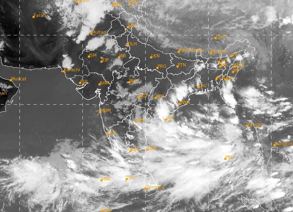
Bhubaneswar: The India Meteorological Department (IMD) informed that a low pressure area has formed over the east-central Bay of Bengal and it is likely to intensify into a depression on May 23.
In its bulletin, IMD informed that, “It is very likely to move north-northwestwards and intensify into a cyclonic storm by May 24 and further into a very severe cyclonic storm in the subsequent 24 hours.”
The cyclonic storm is likely to make a landfall between Odisha-West Bengal and Bangladesh Coasts. “The cyclonic storm would continue to move north-northwestward and intensify further before reaching north Bay of Bengal near West Bengal and adjoining north Odisha and Bangladesh coasts around May 26 morning” IMD mentioned in the bulletin.
The cyclonic storm is likely to cross West Bengal and adjoining north Odisha and Bangladesh coasts around May 26 evening, IMD further said.
From May 24 evening the West Bengal, north Odisha and Bangladesh coasts would experience wind speed 40-50 kmph gusting to 60 kmph.
On 26 May, the wind speed would become 90-100 gusting to 110 kmph along the coasts which would further increase in the evening.
With the cyclone brewing in Bay of Bengal, Odisha and West Bengal already issued an alert in the coastal areas.
Eight flood relief teams and four diving teams are prepositioned at Odisha and West Bengal. Four naval ships are on standby with Humanitarian Assistance and Disaster Relief (HADR) bricks, diving, and medical teams to render assistance in the affected areas along the coasts of Odisha and West Bengal.
Naval aircraft are kept ready at Naval Air stations, INS Dega at Visakhapatnam and INS Rajali near Chennai to undertake aerial survey of the most affected areas, casualty evacuation, and airdrop of relief material as required.


