Bhubaneswar: The Odisha government has stepped up efforts to accelerate modernisation of land records in Subarnapur district, with senior officials directing faster execution of Hi-Tech Survey and Settlement operations and setting clear timelines for completion of the remaining work.
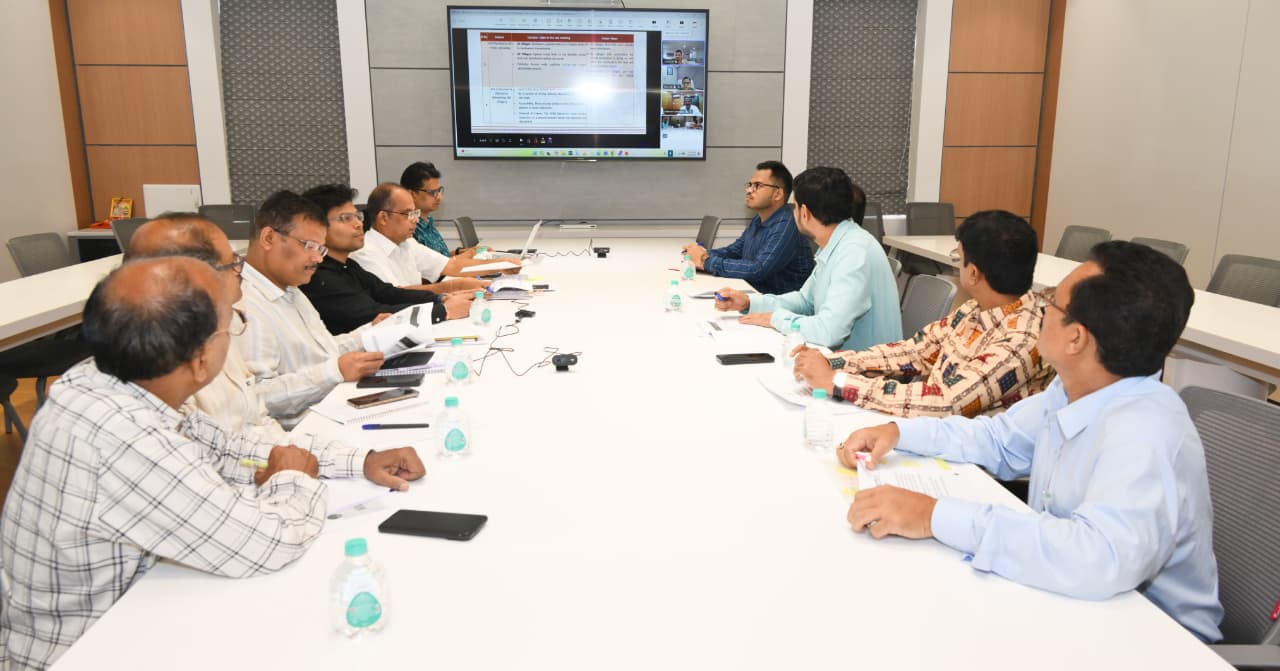
A high-level review meeting chaired by Additional Chief Secretary of the Revenue and Disaster Management Department, Dr. Arabinda Kumar Padhee, was held at Lok Seva Bhawan to assess progress achieved under the ongoing survey initiative and review implementation of decisions taken during earlier monitoring meetings.
During the review, Dr. Padhee stressed the importance of continuous monitoring, stronger inter-departmental coordination and timely field-level implementation to ensure that survey and settlement activities are completed within schedule. He urged officials to work collectively to make Subarnapur a benchmark district for Hi-Tech Survey and Settlement implementation in Odisha.
Officials informed the meeting that land record modernisation has already reached an advanced stage in several areas. Records of Rights (RoR) for 93 villages, where final publication has been completed, have been uploaded to the Bhulekh Portal and land titles distributed among landowners.
The review also focused on progress in generating Unique Land Parcel Identification Numbers (ULPINs), considered a key component of digital land governance. Of the 69 villages where ULPIN generation remained pending after final publication, the process has been completed in 10 villages. Authorities stated that after Tahasil-level re-verification of land records, ULPINs for the remaining villages will be generated and uploaded before distribution of land titles.
On the operational front, officials reported that field activities under the agreement with M/S IIC Technologies began after deployment of manpower from June 8, while survey work at Tahasil level commenced from June 15.
Currently, Survey Engineers and Data Entry Operators are carrying out activities in Sonpur, Birmaharajpur and Ulunda Tahasils. To speed up execution, additional personnel are scheduled to be deployed in the remaining three Tahasils from June 22.
Progress data presented during the meeting showed that out of 954 villages notified for Hi-Tech Survey and Settlement in Subarnapur district, final publication of land records and maps has been completed in 608 villages. Draft publication of land records has been completed in 834 villages, while Land Parcel Map distribution has reached 899 villages.
Officials also presented a month-wise action plan outlining targets from June to November for completion of pending activities. Based on the roadmap, Dr. Padhee instructed authorities to complete final publication of maps and land records in the remaining 346 villages within the prescribed timeframe.
The meeting was attended by senior officials of the Directorate of Land Records and Surveys and the Revenue and Disaster Management Department, while Revenue Divisional Commissioner (Northern Division), the Subarnapur Collector and district-level officers joined virtually to review implementation progress.