Bhubaneswar: Land administration across India is set for a major digital overhaul with the launch of the third phase of the Digital India Land Records Modernization Programme (DILRMP), which will bring land records, cadastral maps, registration data and other property-related information onto an integrated, GIS-enabled digital platform.
The DILRMP 3.0 will be implemented from April 1, 2026 to March 31, 2031, with a total financial outlay of ₹565.50 crore. Union Rural Development Minister Shivraj Singh Chouhan unveiled the operational guidelines for the programme, which was attended virtually by ministers, secretaries and senior officials from States and Union Territories.
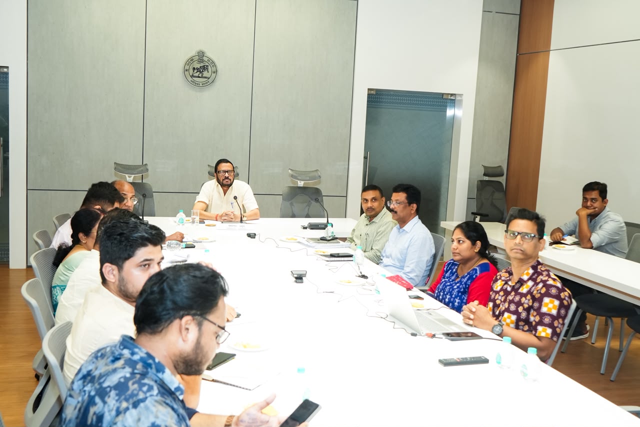
From Lok Seva Bhawan, Odisha Revenue and Disaster Management Minister Suresh Pujari and senior officials of the department participated in the virtual programme.
Unlike the earlier phase, which focused largely on digitising Records of Rights (RoR), cadastral maps and registration systems, DILRMP 3.0 seeks to connect these databases through an interoperable Land Stack. Cadastral parcels will form the basic spatial layer, while RoRs, registration records, circle rates, land-use information, restrictions, building plans and other relevant data will be linked through interoperable APIs.
The programme will also introduce ULPIN, or Bhu-Aadhaar, as a common and unique identification number for every land parcel. The system is aimed at covering rural, semi-urban and urban areas and providing citizens with authenticated land services through secure identity verification and consent-based data integration.
Among the key objectives are digitisation and georeferencing of all land parcels, conversion of legacy land and registration records into searchable digital repositories, modernisation of registration systems for end-to-end digital property transactions and integration of revenue court processes. The programme also seeks to improve mutation and dispute resolution, reduce delays and create secure data-sharing mechanisms among agencies involved in land administration.
Pujari described DILRMP 3.0 as an important step towards building an integrated, digital and GIS-based land administration system. He said the initiative would strengthen transparency and security while making land-related services more convenient and faster for citizens.
Highlighting Odisha’s progress, the minister said the state has already undertaken several technology-driven reforms to modernise revenue administration. Modern Record Rooms have been established in 311 of the state’s 317 tahasils.
High-tech land surveys are currently underway in Jharsuguda, Jagatsinghpur, Jajpur, Kendrapara, Kalahandi and Ganjam districts. Odisha has so far computerised 1,99,86,487 Records of Rights, while cadastral maps or Bhu-Nakshas have been prepared for around 51,742 of the state’s 51,802 villages.
The registration system is also being brought under the digital modernisation drive. Of Odisha’s 321 Sub-Registrar Offices, 213 have been computerised. The 108 new registration offices established in 2025 are also being equipped with modern technological infrastructure.
To strengthen the skills of revenue officials and support implementation of the programme, a dedicated DILRMP Cell has been established at the Revenue Officers’ Training Institute (ROTI), Gothapatna.
The department is also pursuing wider technology-based reforms, including cashless and paperless registration, advanced monitoring systems and other digital initiatives aimed at making revenue administration more transparent, efficient and people-centric.
With DILRMP 3.0, the Centre intends to move beyond isolated digitisation of land records towards an integrated digital land ecosystem where ownership records, spatial information, registration and related services can be accessed and verified through a common technological framework.