New Delhi: In a significant step towards embracing digital technologies for socio-economic surveys, the National Sample Survey Office (NSSO) under the Ministry of Statistics and Programme Implementation (MoSPI) has inked a Memorandum of Understanding (MoU) with the National Remote Sensing Centre (NRSC) under the Indian Space Research Organization (ISRO). This collaboration marks the initiation of the Urban Frame Survey (UFS) in a digital format, employing state-of-the-art Geo ICT tools and techniques through the Bhuvan Platform.
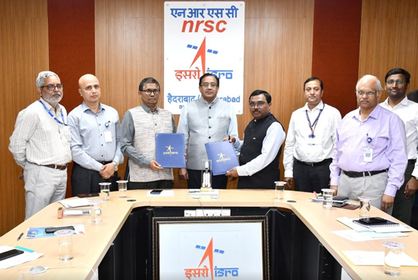
The MoU signing ceremony took place with Subash Chandra Malik, Additional Director General, NSSO, MoSPI, and Dr. Srinivasa Rao S, Deputy Director, BGWSA, NRSC at the forefront. The occasion was graced by the presence of Dr. Prakash Chauhan, Director NRSC, Dr. K Vinod Kumar, Associate Director, NRSC, and Raushan Kumar Choudhary, Deputy Director General (UFS).
The UFS, conducted in five-year phases, plays a crucial role in establishing and maintaining a frame of compact urban geographical units. This frame serves as a sampling foundation in the urban sector, primarily aiding NSSO’s large-scale Socio-Economic Surveys. The digital form of UFS was first implemented during Phase 2017-22, covering more than 5300 towns through the Bhuvan platform. In the ongoing phase (2022 – 2027), survey activities are planned for approximately 8134 towns, leveraging enhanced versions of Mobile, Desktop, and Web-Based GIS solutions built on the Bhuvan Platform.
Under the MoU, key areas of collaboration include the development and improvement of a mobile application for Geo-tagging NSSO Urban Frame Survey data, creation of a web portal for visualization and system-generated scrutiny, editing, etc., of data submitted through the mobile application. Additionally, a QGIS plug-in will be developed for accessing polygons captured through the mobile application, and fine-tuning of Block, IV-unit, Ward, and Town boundaries of UFS will be achieved using High Resolution Satellite Imagery. Capacity building of NSSO officials by NRSC is also part of the comprehensive collaboration.
The primary objective of this collaboration is the transformation of UFS from an analogue to a digital mode. This shift is expected to assist MoSPI in achieving its targets of updating the Urban Frame regularly and in a timely manner. The integration of cutting-edge technologies and space-based resources is anticipated to streamline the survey process, enhance data accuracy, and contribute to informed policy decision-making for urban development in India.