
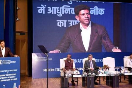

New Delhi: The two-day workshop on Modern Technologies in Survey-Resurvey for Urban Land Records, held at the Dr. Ambedkar International Centre, concluded today with significant insights into advancing urban land management. The session was chaired by Minister of State for Rural Development Dr. Chandra Sekhar Pemmasani, who emphasized that accurate land records are essential for socio-economic planning, public service delivery, and conflict resolution.
The international workshop explored a range of innovative technologies, including advances in survey-resurvey techniques, geospatial tools, drone and aircraft technologies, and GIS-integrated solutions. Dr. Pemmasani noted that the insights shared during this workshop would lay the foundation for developing a smarter and more efficient urban management system in India.
In his address, Dr. Pemmasani remarked on the importance of adapting urban land management practices to meet the challenges of rapid urbanization. He stated, “As rural land records evolve, urban land management must also rise to meet the demands of growing cities. Technology now offers us tools that provide unparalleled precision in land surveys.” He highlighted that technologies like drone and satellite imagery can significantly reduce human errors and improve data accuracy in complex urban environments.
The Minister also spoke about India’s strides in land records modernization under the leadership of Prime Minister Narendra Modi, citing initiatives such as the Digital India Land Records Modernization Programme (DILRMP). He mentioned that the government has digitized Records of Rights (RoR) in over 625,000 villages and launched the Unique Land Parcel Identification Number (ULPIN), also known as Bhu-Aadhaar.
Dr. Pemmasani further emphasized the need for creating spatially enabled land records to resolve longstanding issues such as overlapping ownership claims and boundary disputes. He called for moving beyond traditional, time-consuming survey methods to embrace advanced technologies for a new era in urban governance.
The workshop featured impactful case studies and presentations from representatives of various countries, including the United States, South Korea, Spain, Germany, and India, sharing their experiences in overcoming urban land management challenges. Dr. Pemmasani noted that this workshop marks the beginning of a transformative journey and that the insights gained would shape national programs to modernize urban land records.
To further this initiative, the Department of Land Resources has sanctioned the “National Geospatial Knowledge-based Land Survey of Urban Habitations (NAKSHA)” pilot program. This ambitious project aims to create land records in approximately 130 cities across all states and union territories within a year, with plans to expand the effort to about 4,900 Urban Local Bodies over the next five years.
The workshop facilitated discussions on advanced land mapping techniques and showcased cutting-edge technologies from both Indian and international firms, aimed at revolutionizing land administration in urban areas. As the event concluded, Dr. Pemmasani congratulated the Department of Land Resources and all officials involved in this groundbreaking initiative, reaffirming their commitment to creating a transparent, efficient, and equitable urban land management system.