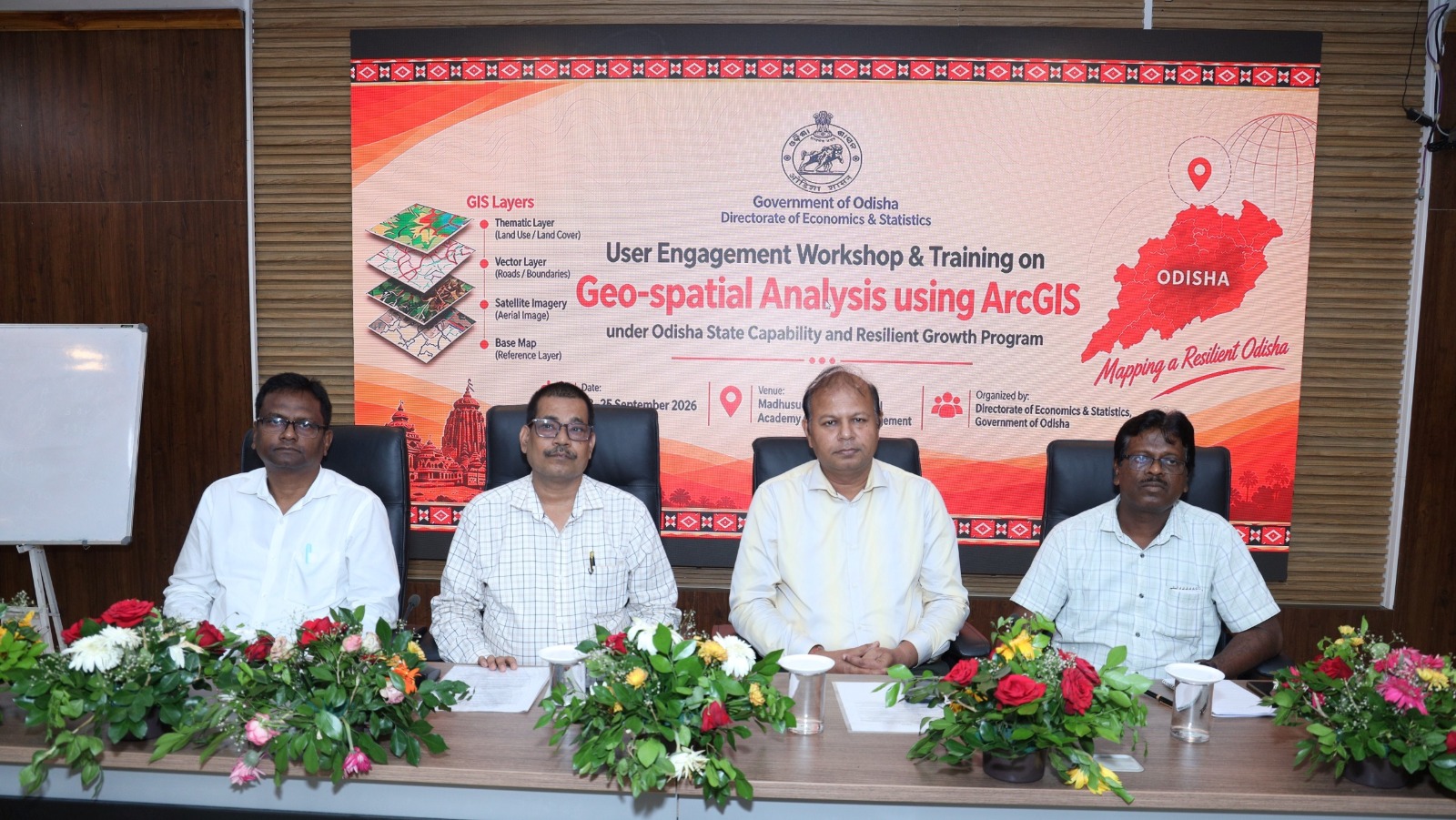
Bhubaneswar: Geospatial technology is being positioned as a tool to strengthen statistical analysis and planning in Odisha, with officials receiving hands-on training in ArcGIS during a three-day capacity-building programme that concluded here on Friday.
The workshop, organised by the Directorate of Economics and Statistics (DE&S), Odisha, focused on how spatial data and geospatial analysis can be applied to statistical, planning and development-related activities.
Held from September 23 to 25 at the Madhusudan Das Regional Academy of Financial Management (MDRAFM) in Chandrasekharpur, the User Consultation Workshop and Capacity Building Programme brought together officials and technical personnel from different institutions involved in Odisha’s statistical and planning ecosystem.
The training was part of digitisation initiatives under the World Bank-supported Odisha State Capability and Resilience Growth Programme (OSCRGP), which seeks to strengthen the state’s statistical system.
The programme also provided participants with practical exposure to ArcGIS. Resource persons from ESRI India conducted technical sessions on geospatial analysis techniques and their application in statistical activities, allowing participants to work with the tools directly.
The sessions explored the use of geospatial technologies for spatial analysis and visualisation, as well as their potential to support evidence-based planning and data-driven decision-making.
Officials from DE&S, the Regional Institute for Planning, Applied Economics & Statistics (RIPA&E&S), District Planning and Monitoring Units (DPMUs), the DE&S Project Management Consultancy (PMC), Odisha Computer Application Centre (OCAC) and Odisha Space Applications Centre (ORSAC) took part in the programme. A total of 38 participants and resource persons were associated with the workshop.
The concluding session was attended by Planning and Convergence Department Joint Secretary Anuj Kumar Das Pattanaik, Additional Secretary Pradyumna Mohakud and DE&S Director Manas Ranjan Samal. They interacted with participants and emphasised the importance of strengthening technical capabilities and expanding the adoption of geospatial tools.
Samal had inaugurated the programme on September 23 and stressed the need to equip officials with technical skills and make effective use of modern geospatial technologies in statistical work.
The workshop concluded with an emphasis on building technical capacity and exploring wider applications of geospatial technologies to strengthen statistical processes and support planning and development activities in the state.